Accessibility settings

Settings are saved in this browser and apply on every page of the site.

Text size 100%

Accessibility is built into the site code. This menu is an extra, not a substitute.

ST-00 Service & support Local authorities

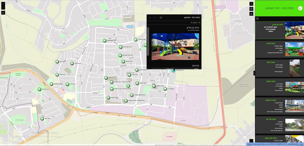
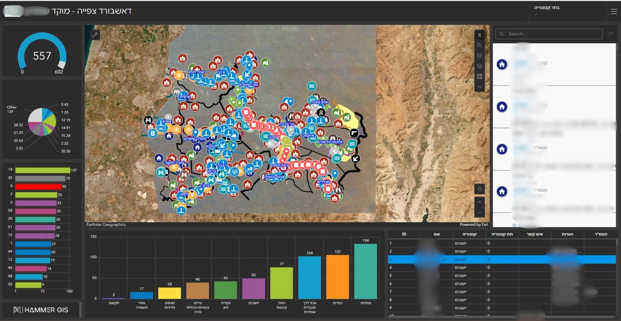
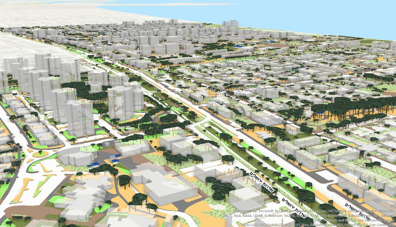
Resident maps: collection days, thematic maps and a road cross-section survey

ArcGIS Online apps for local authorities: waste and pruning collection days by address, comparison and thematic maps for residents, a road cross-section survey and self-survey forms.

Source
ArcGIS Online
CRS
EPSG:2039 · E 184,408 · N 624,297

ST-01 The traverse

Challenge, solution, outcome

  1. ST-01

    The challenge

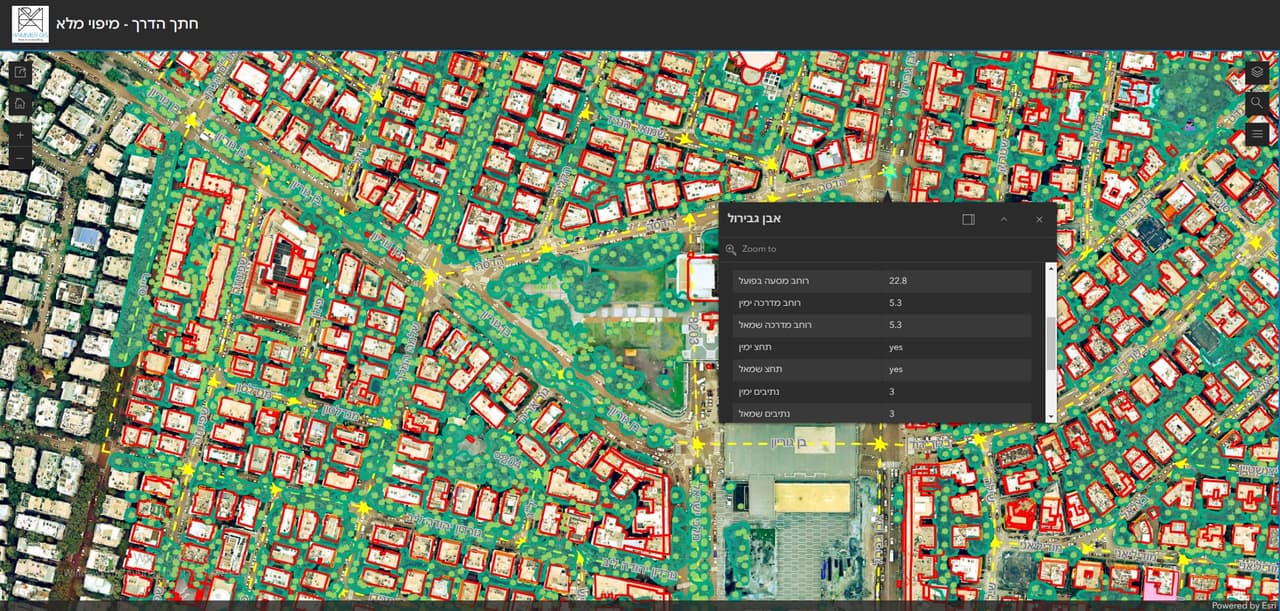
    A resident who wants to know when garden waste is collected on their street should not have to call the hotline. And a department planning a bike lane needs to know the road width, where the parking is and where the trees stand before anyone starts drawing.

  2. ST-02

    The solution

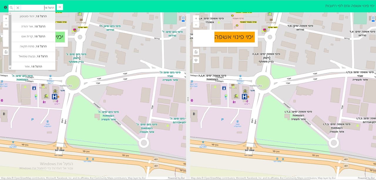
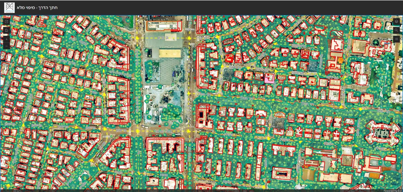
    We built a set of ArcGIS Online apps: a waste and pruning collection-day map with search by address or location, comparison maps that show two maps side by side, thematic maps for residents, a road cross-section survey recording bike lanes, bus lanes, parking, road width and trees, and self-survey forms for collecting information in the field.

  3. ST-03

    The outcome

    Residents look up their collection days by address in a public app, and planners work from an organised road cross-section layer instead of measuring each street again.
ST-02 What was delivered

Project deliverables

  1. Waste and pruning collection-day map with address search
  2. Comparison maps and thematic resident maps
  3. Road cross-section survey
  4. Self-survey forms
Client
Local authorities
Source
ArcGIS Online

ST-05 Your next project

What do you want to move forward in your organisation?

Tell us what needs solving and we will come back with a proposed approach: a survey, a system, software, or a combination.