
Accessibility settings

Settings are saved in this browser and apply on every page of the site.

Text size 100%

Accessibility is built into the site code. This menu is an extra, not a substitute.

ST-00 Service & support A regional council

GIS system and call-centre dashboard for a regional council

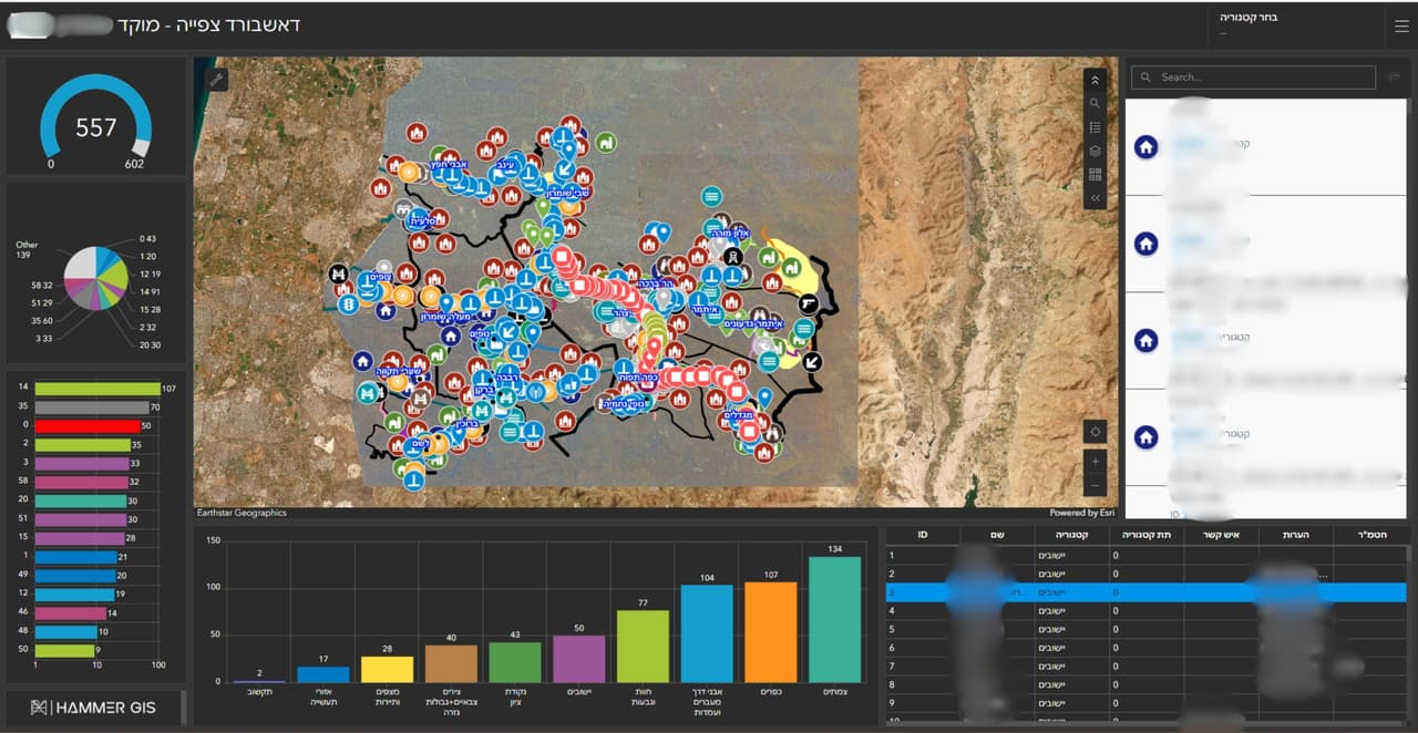
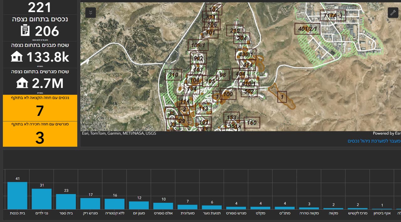
A GIS system for the council, a call-centre dashboard with a map and charts, and external links that open straight from the map.

Source
Council ArcGIS
CRS
EPSG:2039 · E 224,428 · N 678,105

ST-01 The traverse

Challenge, solution, outcome

  1. ST-01

    The challenge

    A regional council looks after many communities and large open areas, and information about them is spread across departments and systems. The call centre needs to see the picture on a map, and staff need to jump from the map to the relevant information without searching for it again.

  2. ST-02

    The solution

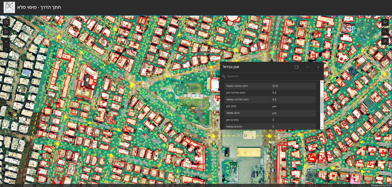
    We set up a GIS system for the council on ArcGIS, together with a call-centre dashboard that shows the data on a map and in charts. External links were configured inside the map, leading from a feature to information about it outside the system. We continue to support the council as a GIS client.

  3. ST-03

    The outcome

    Council staff work from one GIS system, the call centre sees the situation on a map and in charts, and every feature on the map leads straight to the relevant information.
ST-02 What was delivered

Project deliverables

  1. GIS system on ArcGIS
  2. Call-centre dashboard
  3. External links from the map
Client
A regional council
Source
Council ArcGIS

ST-04 Your next project

What do you want to move forward in your organisation?

Tell us what needs solving and we will come back with a proposed approach: a survey, a system, software, or a combination.