ST-01 The traverse
Challenge, solution, outcome
-
ST-01
The challenge
Hazards on pavements and in public space usually come to light only after someone calls the hotline. Fixing them ahead of time takes a picture of every street, not only the ones that generated complaints.
-
ST-02
The solution
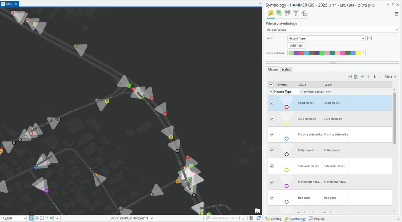
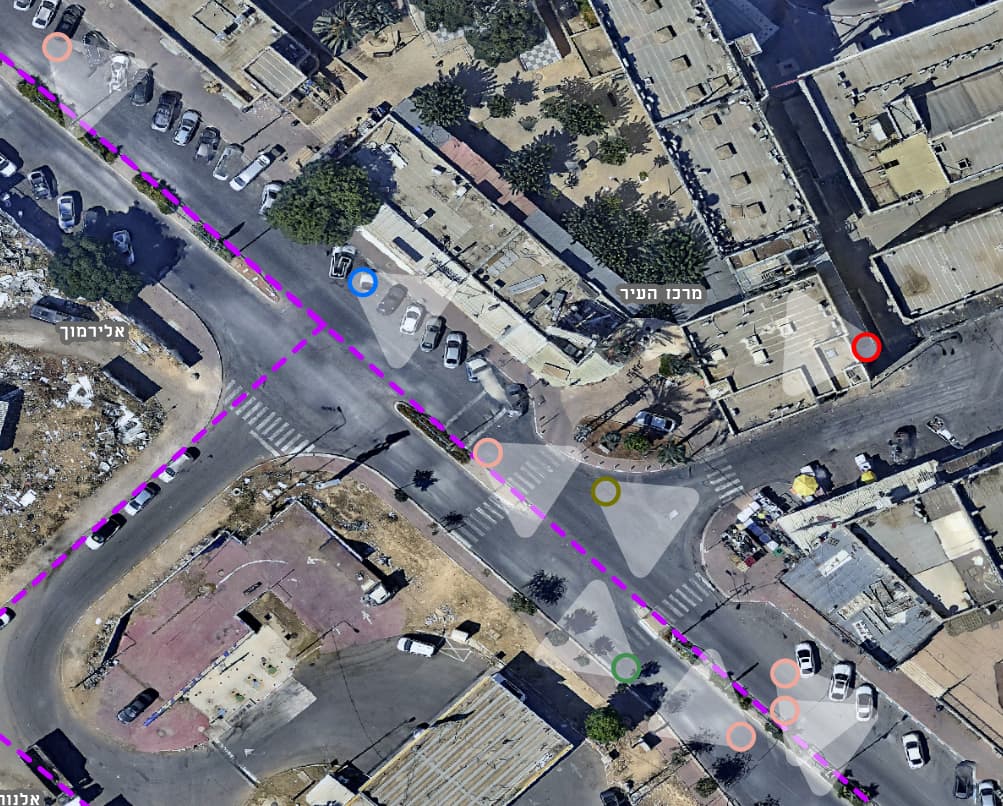
A camera vehicle drove the streets and an AI model flagged pavement and public-space hazards in the imagery. The detections were placed on the aerial photo and built into a hazard layer that can be filtered and sorted.
-
ST-03
The outcome
Maintenance teams see the hazards on the map, prioritise them by location and type, and go out to fix them from a list rather than only from complaints.