ST-01 The traverse
Challenge, solution, outcome
-
ST-01
The challenge
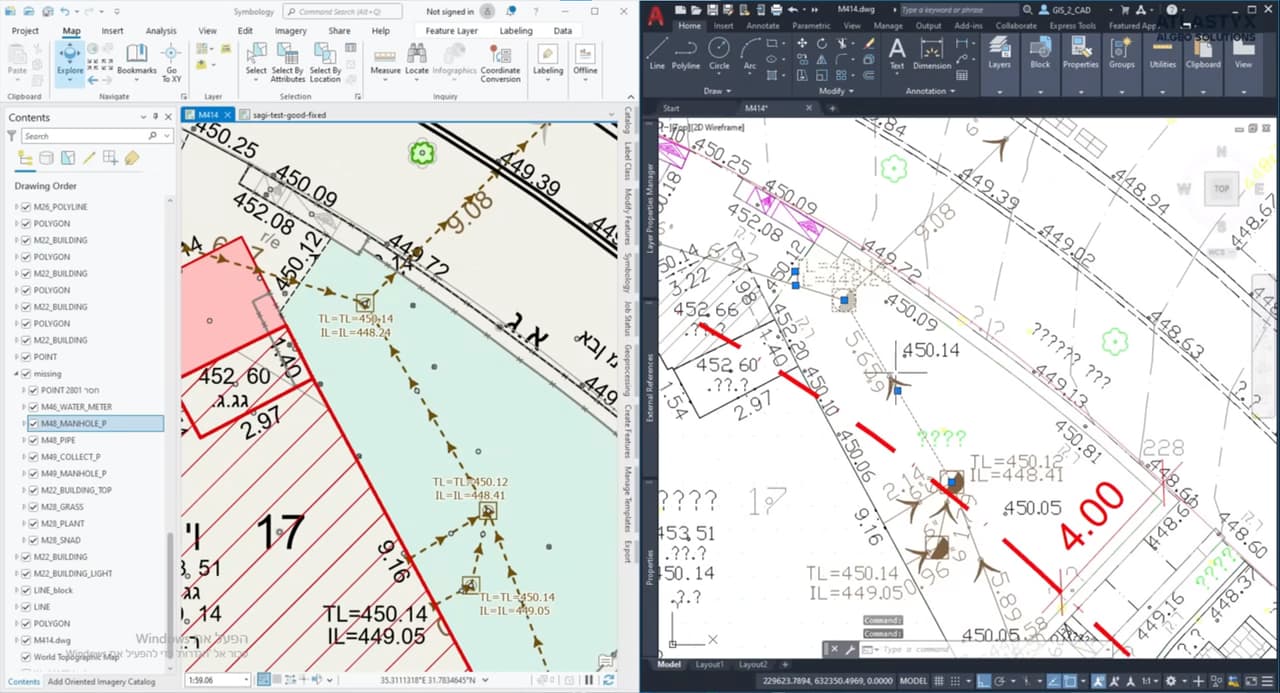
AS-MADE surveys and MABAT plans arrive as DWG files. Getting them into GIS means mapping every CAD layer to a target layer, recovering Hebrew text, checking topology and making sure the file sits in the right place. By hand that takes days, and quality checks are the first thing to slip.
-
ST-02
The solution
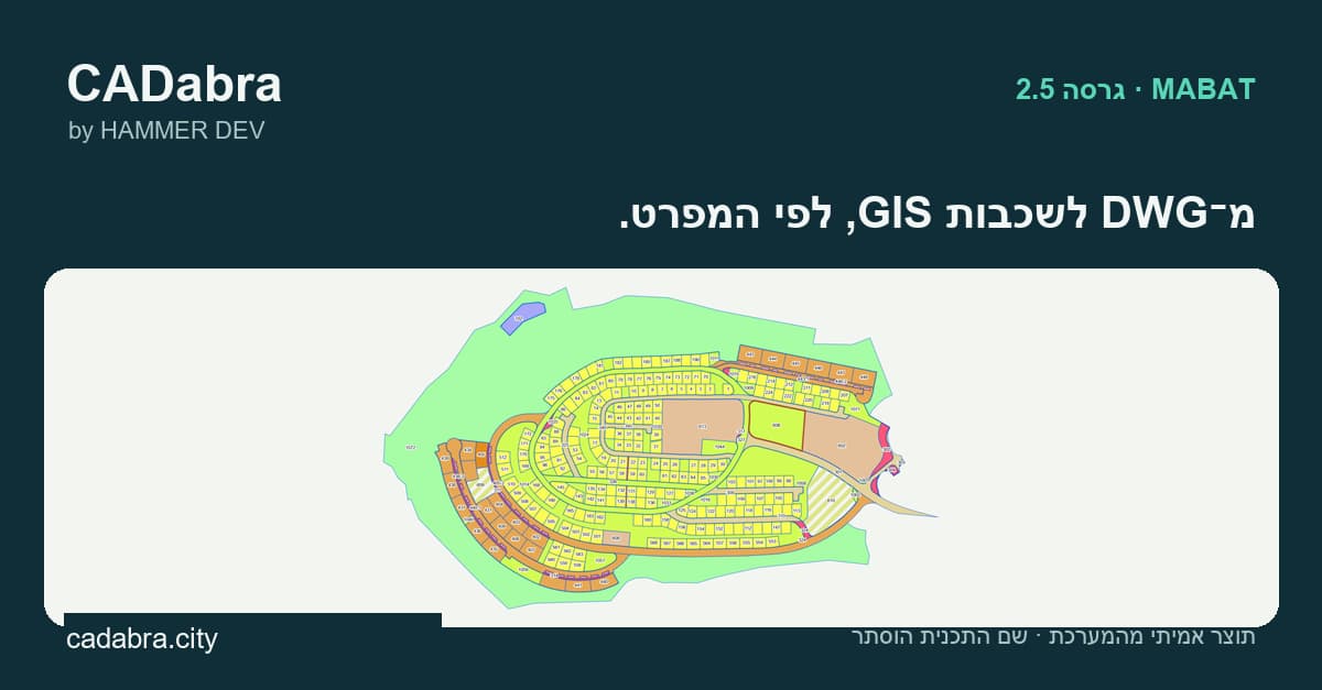
We uploaded a real AS-MADE survey to CADabra. The AS-MADE module detected the Israeli Transverse Mercator grid (ITM) automatically, converted the entities into layers to the Survey of Israel specification and produced a quality report: 26 layers, 416 features and grade A (95 out of 100). On plan 128/1, the MABAT module ran its checks and flagged 2 lots for review along with topology issues.
-
ST-03
The outcome
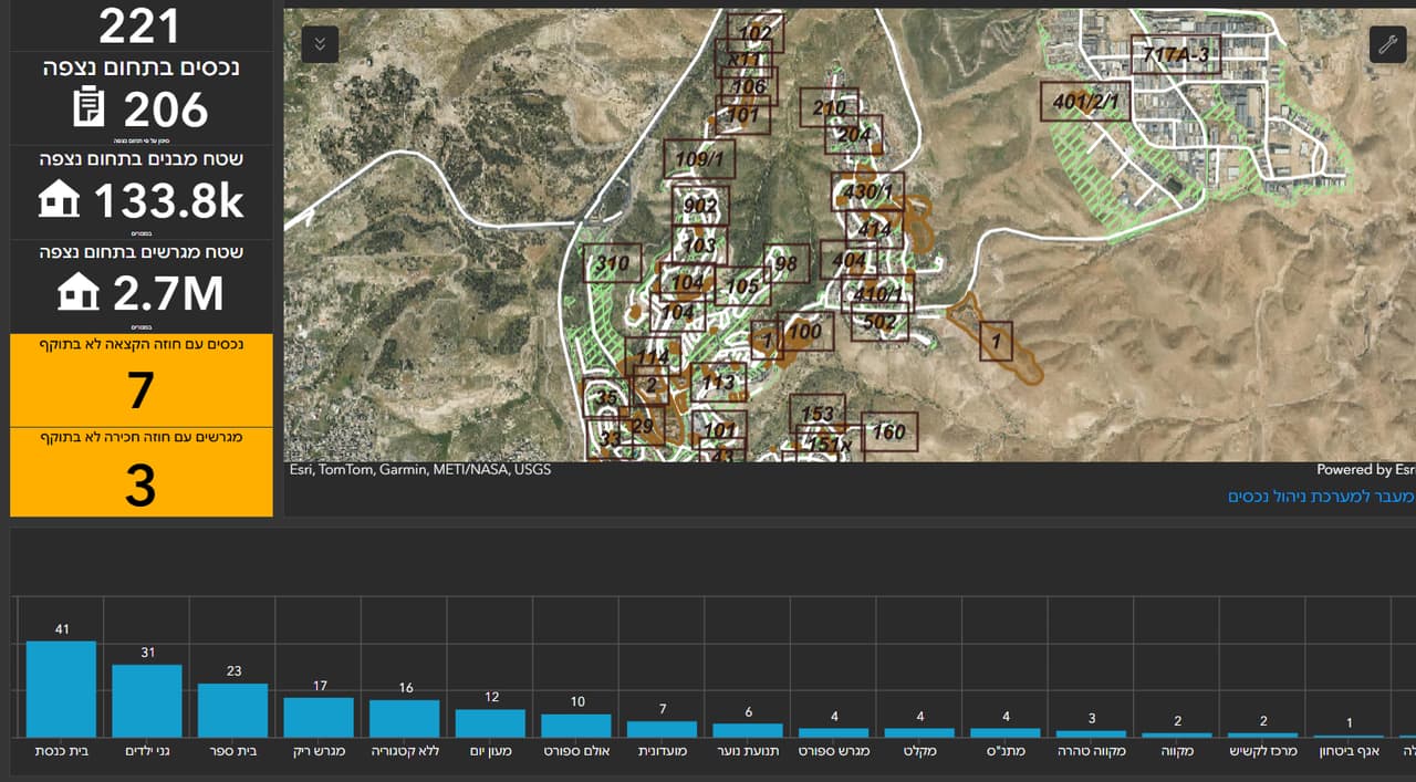
An engineer or surveyor gets styled GIS layers and a quality report in Hebrew or English, and knows what was converted, what is waiting for their decision and where the plan has a problem, before the data enters the organisation's system.